This page is part of © FOTW Flags Of The World website

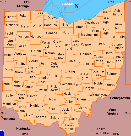
Clickable map of Ohio (United States)

Last modified: 2007-09-29 by antónio martins
Keywords: (no keywords) |
Links: FOTW homepage | search | disclaimer and copyright | write us | mirrors


See also:
map

Copyright: FOTW Ohio map by António Martins and boundaries’ data by The Flag Lady and António Martins. If you wish to reuse them on your website, read our copyright rules.

Ottawa County Sandusky County Erie County Lorain County Cuyahoga County Lake County Geauga County Trumbull County Portage County Summit County Medina County Huron County Seneca County Hancock County Putnam County Paulding County Mahoning County Van Wert County Allen County Hardin County Wyandot County Crawford County Richland County Ashland County Wayne County Stark County Columbiana County Mercer County Auglaize County Marion County Morrow County Knox County Holmes County Tuscarawas County Carrol County Jefferson County Darke County Shelby County Logan County Union County Delaware County Coshocton County Harrison County Miami County Champaign County Madison County Franklin County Licking County Muskingum County Guernsey County Belmont County Clark County Fairfield County Perry County Morgan County Noble County Monroe County Preble County Montgomery County Greene County Fayette County Pickaway County Hocking County Athens County Washington County Butler County Warren County Clinton County Ross County Vinton County Meigs County Hamilton County Clermont County Brown County Highland County Pike County Jackson County Adams County Scioto County Lawrence County Gallia County Ashtabula County Williams County Fulton County Lucas County Wood County Henry County Defiance County Erie County

Anything below this line was not added by the editor of this page.